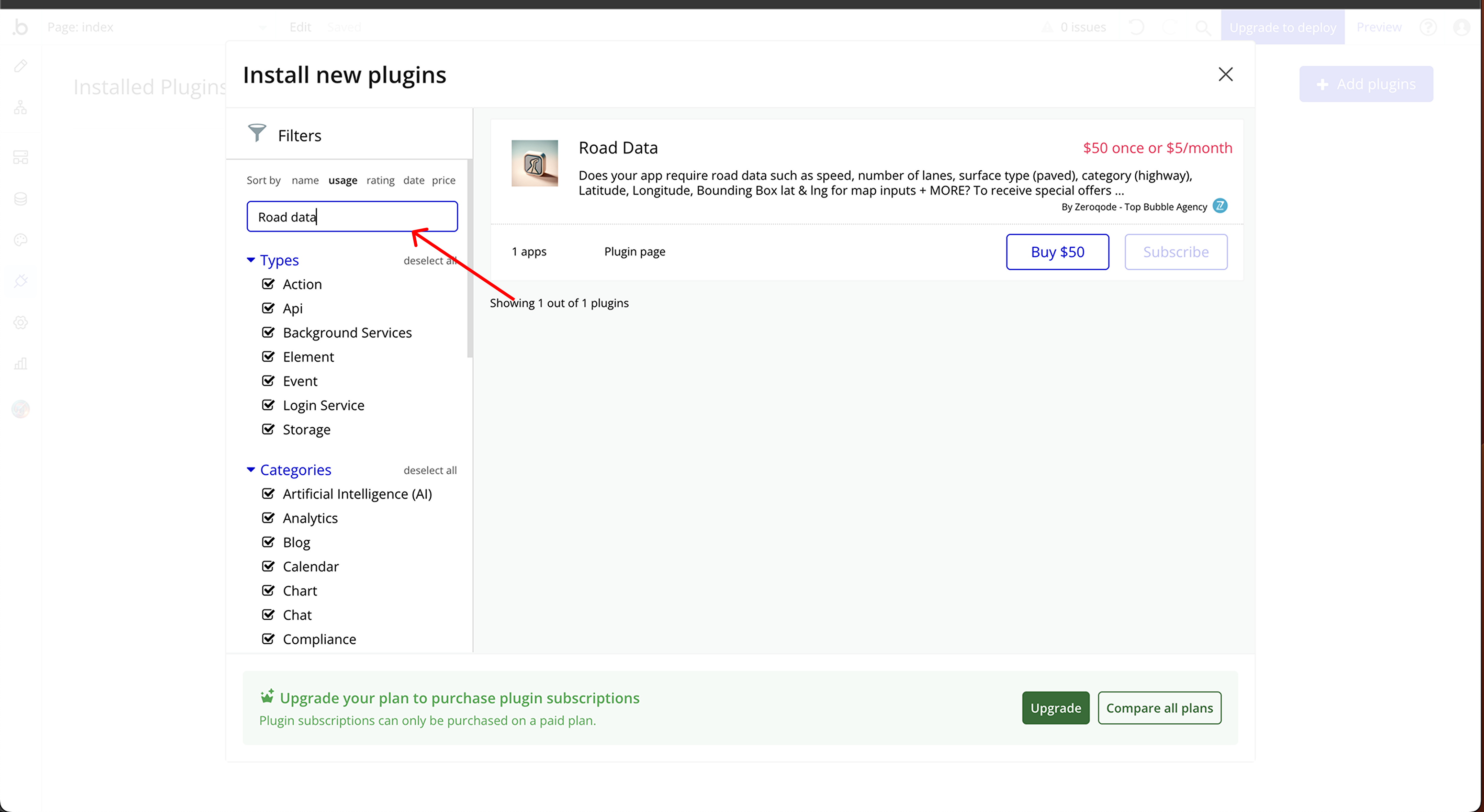
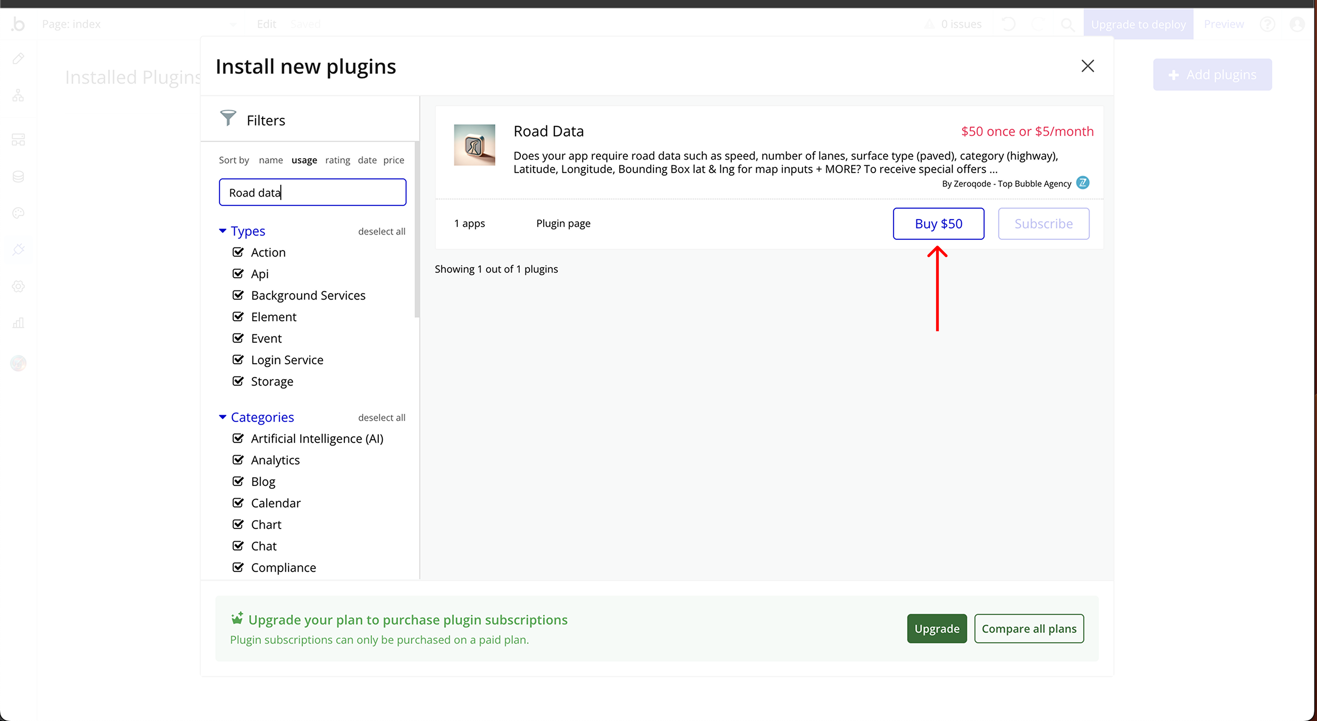
Link to the plugin page:
Demo to preview the plugin:
Live Demo:
Introduction
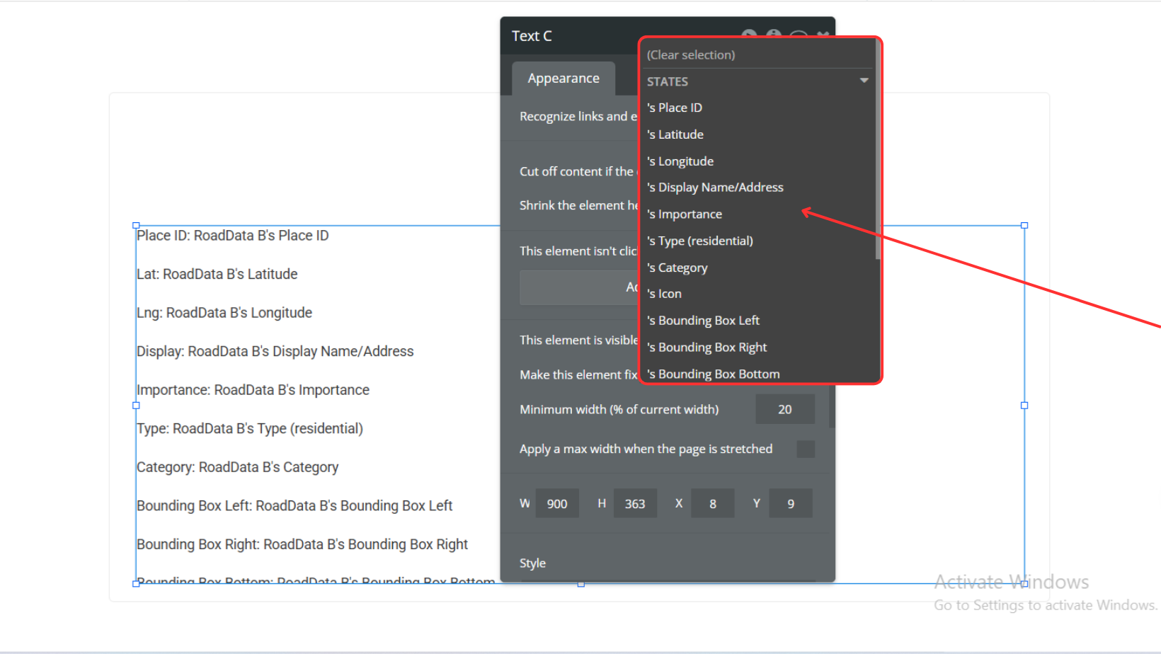
The Road Data Plugin is designed to enhance logistics applications built with Bubble by providing easy access to detailed road data. This no-code plugin enables your app to retrieve information such as speed limits, the number of lanes, surface type (paved or unpaved), road category (e.g., highway), latitude, longitude, and more. It seamlessly integrates into your logistics workflows, offering accurate data to optimize routing, navigation, and delivery operations.
Key Features
Prerequisites
Before using this plugin, ensure you have:
- A Bubble.io account with access to the app editor.
- Basic knowledge of Bubble.
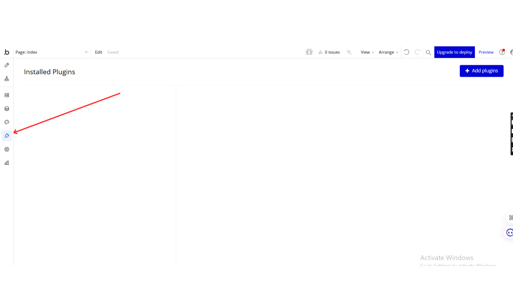
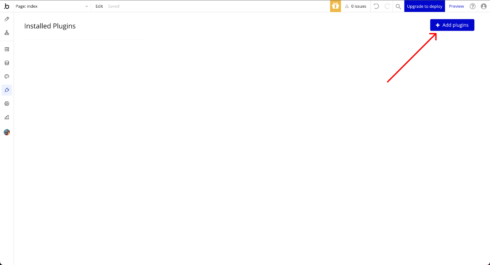
How to setup
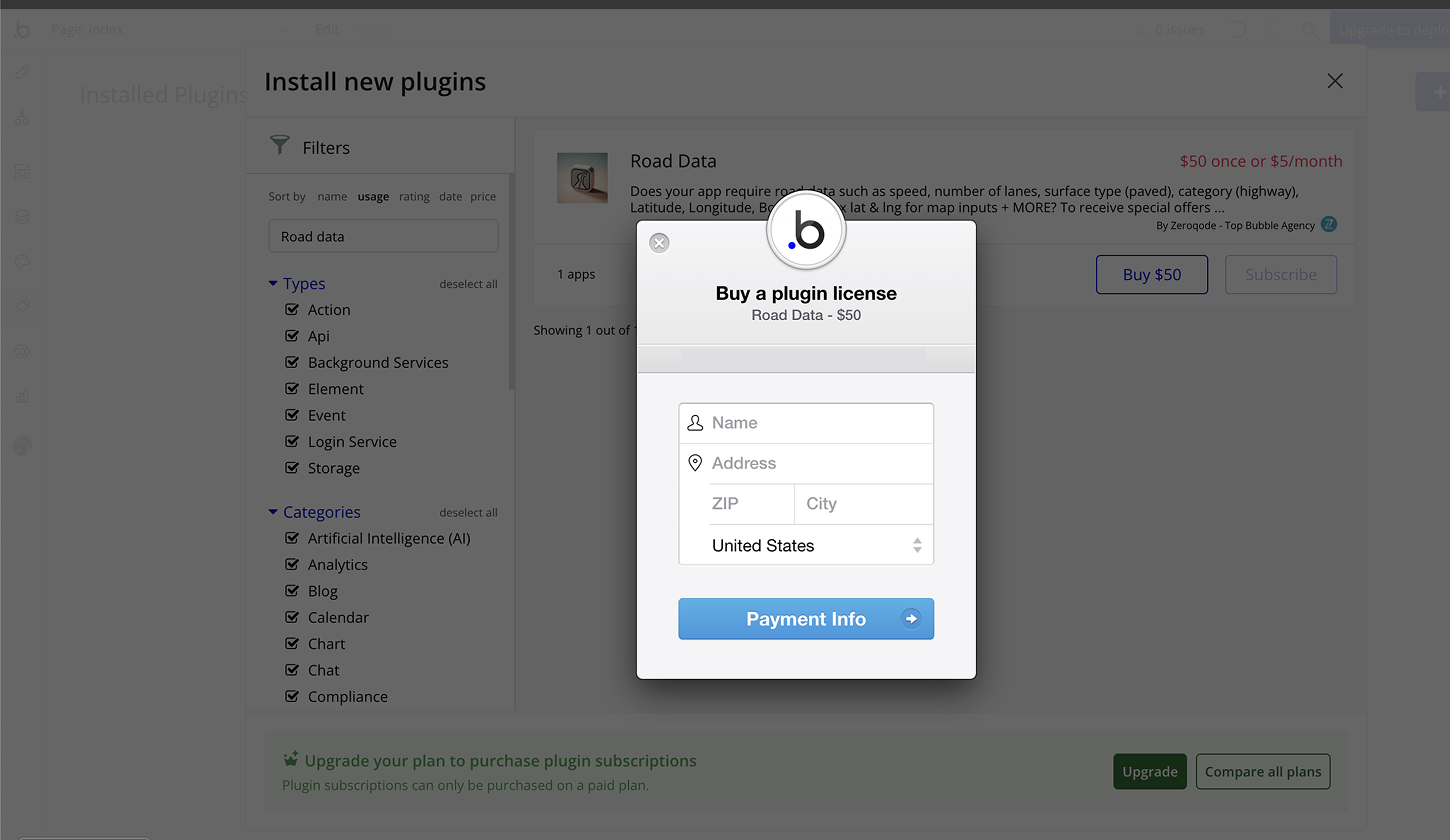
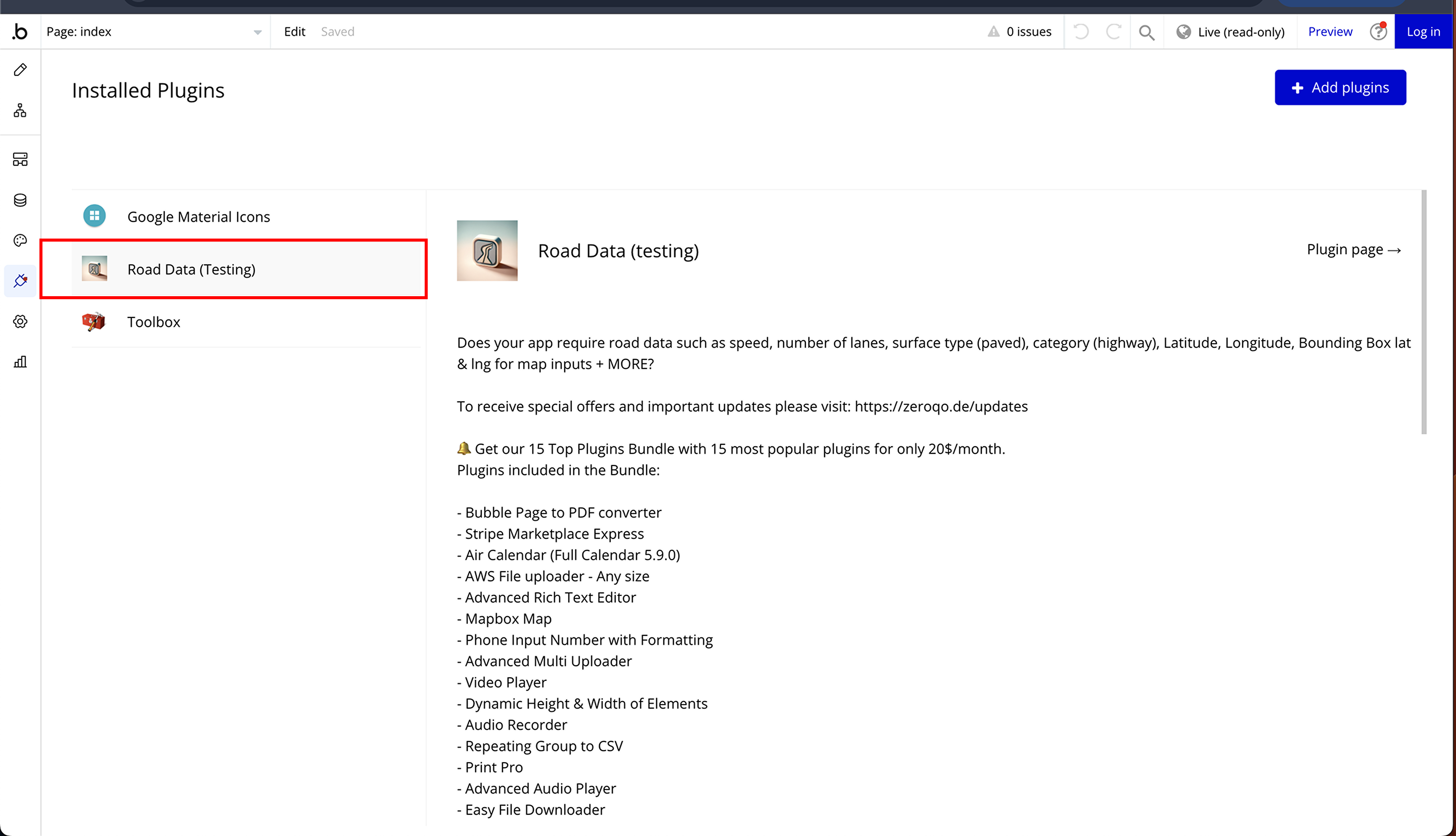
Step 1: Install the Plugin
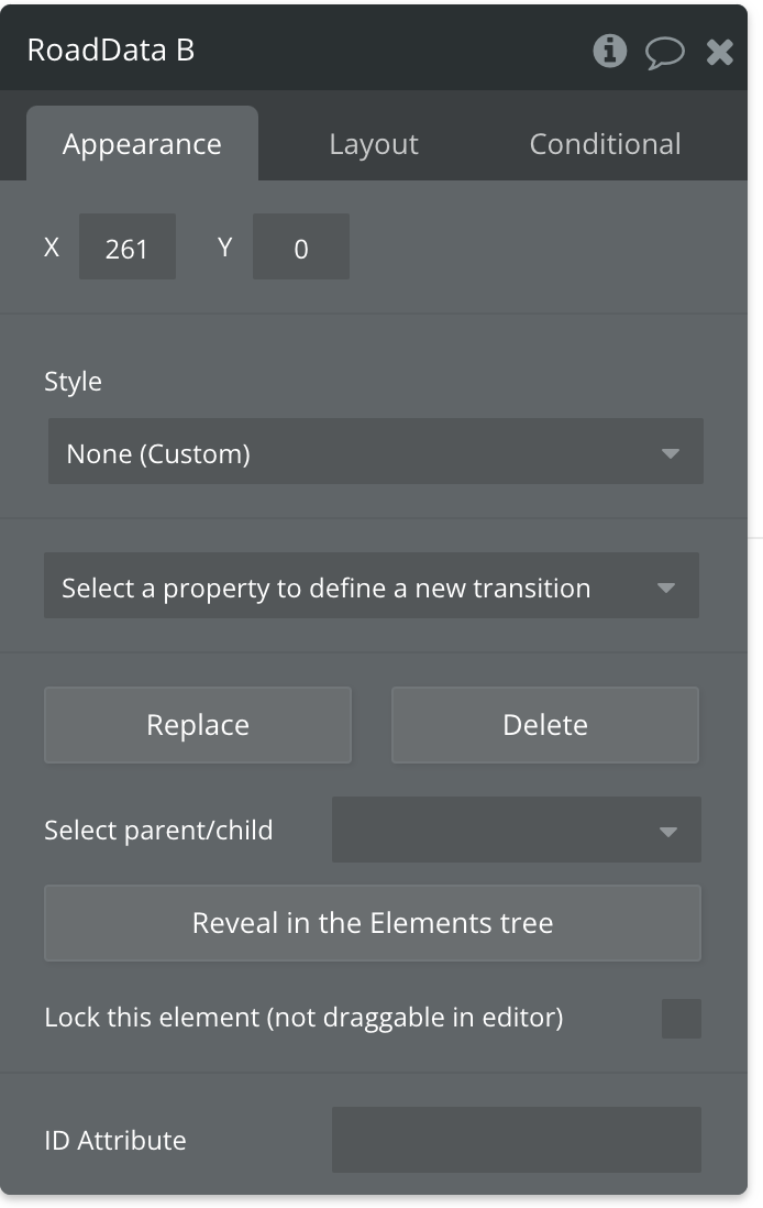
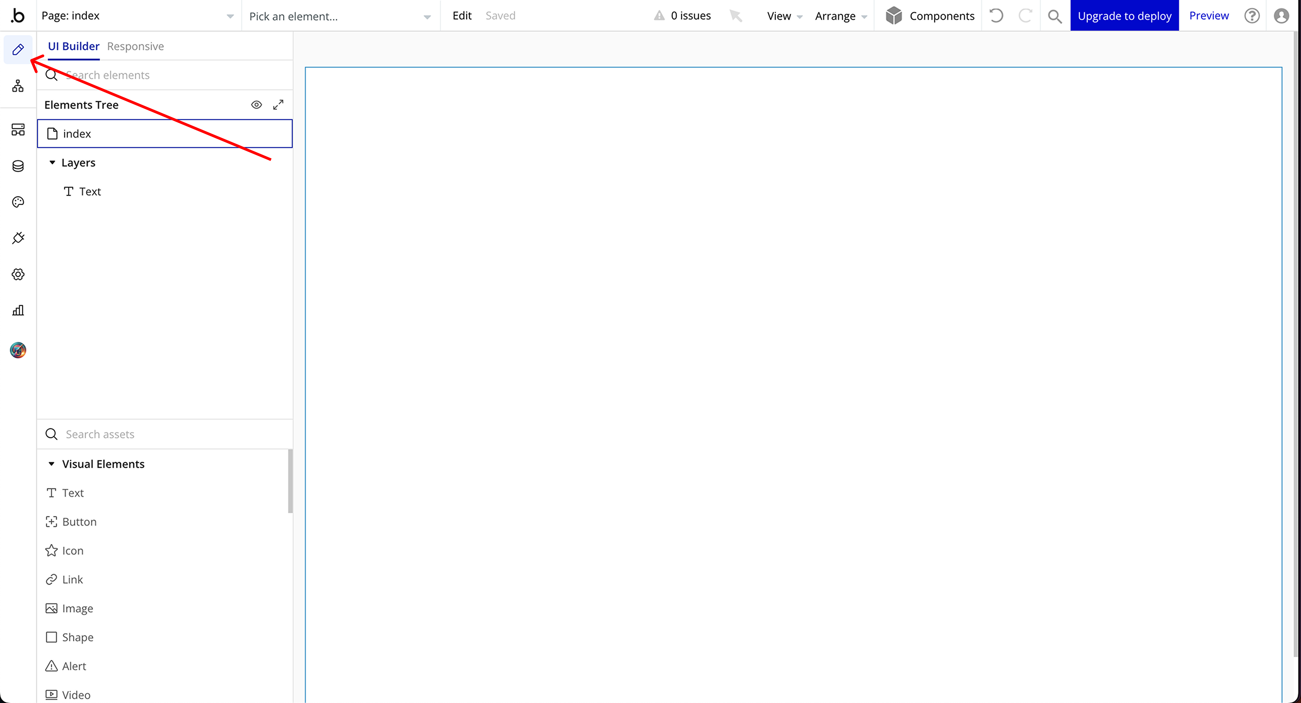
Step 2: Place Element
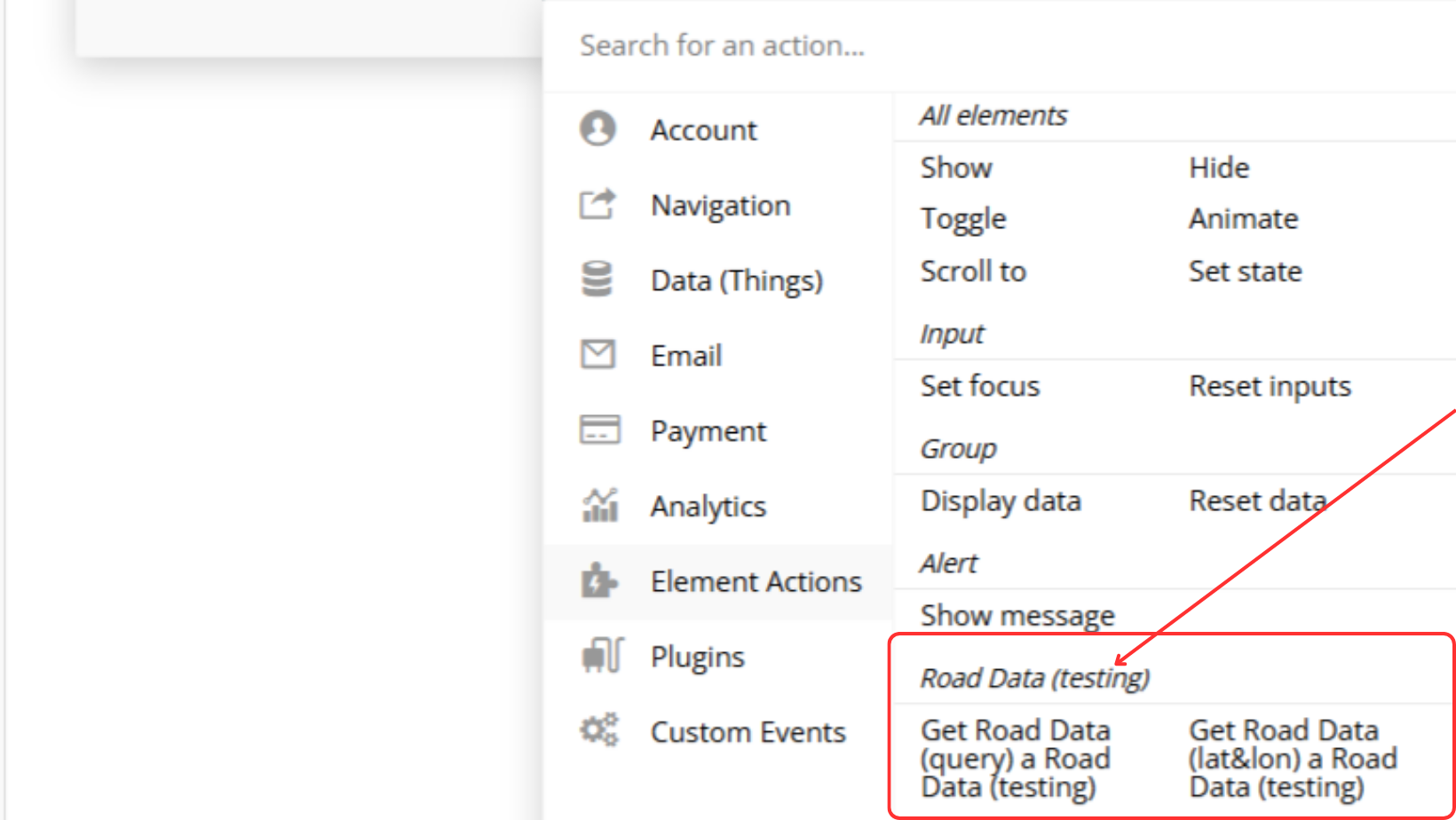
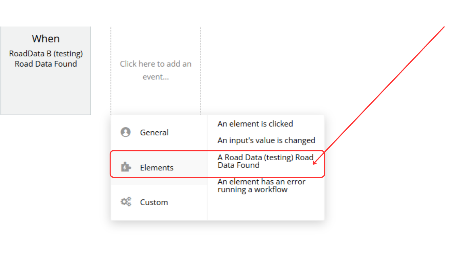
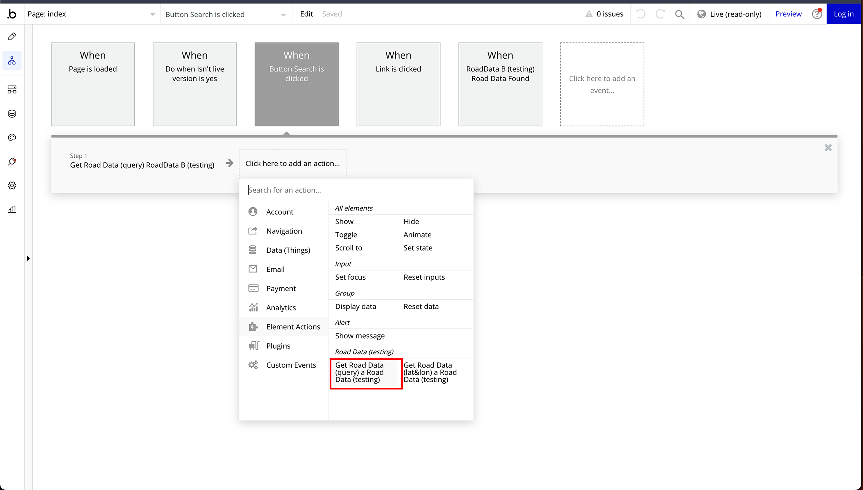
Step 3: Setup Workflow
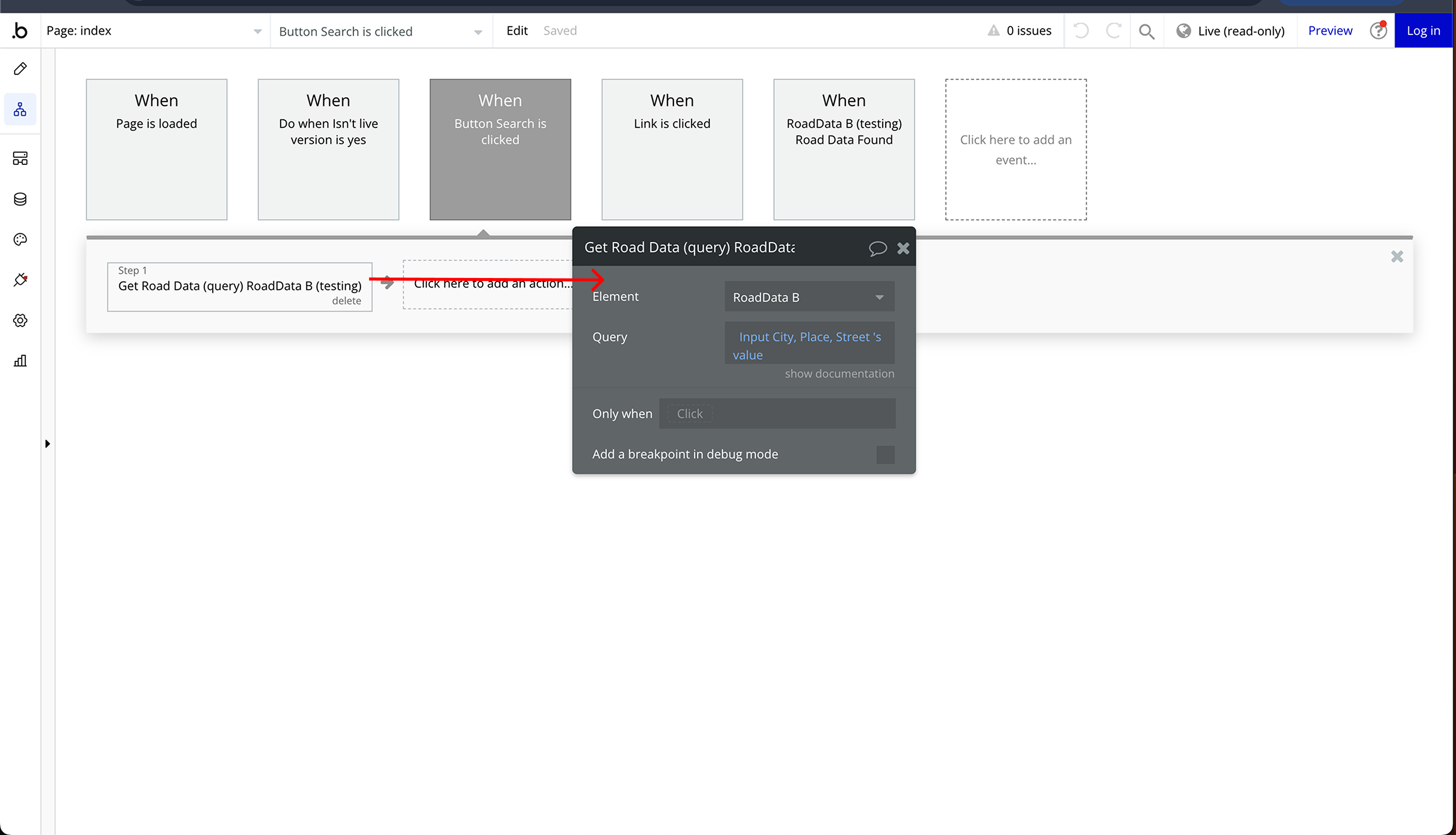
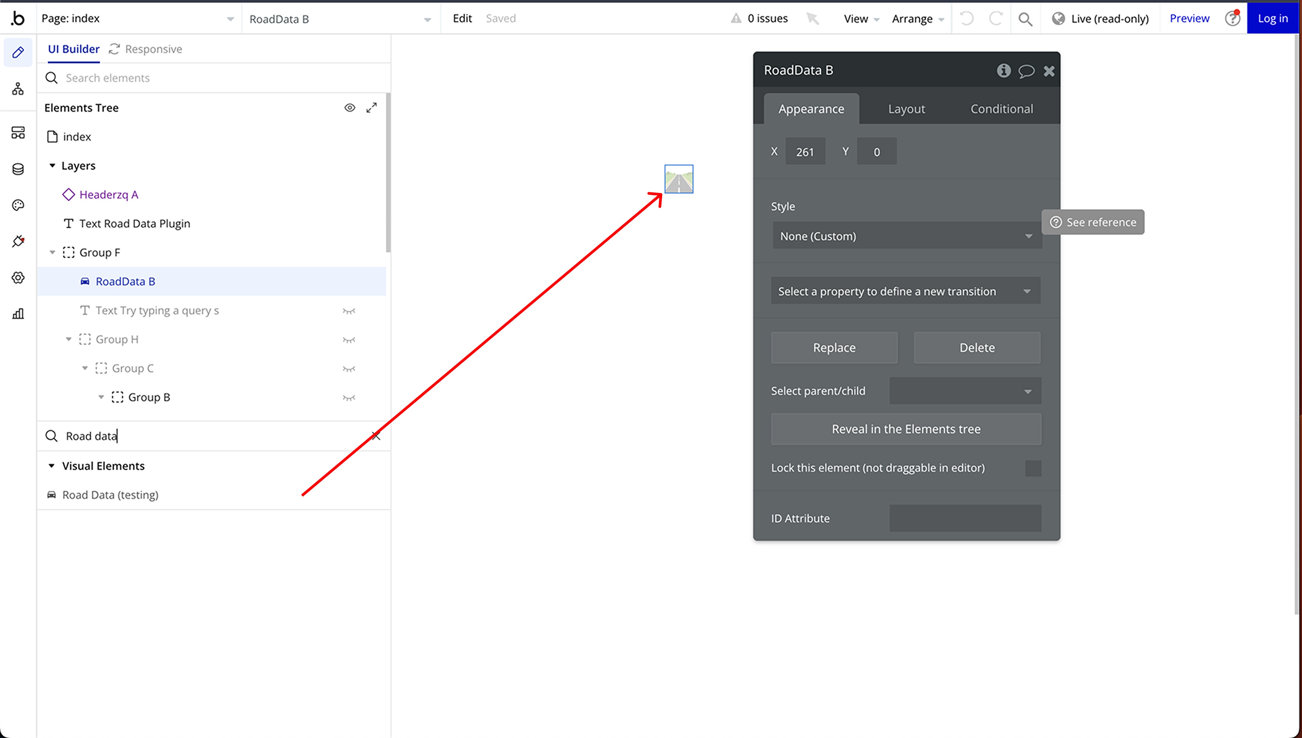
Plugin Element Properties
Road Data
Element Actions
These actions allow you to retrieve road data based on latitude & longitude or a search query.
- Get Road Data (lat&lon)
Retrieves detailed road information based on specific geographic coordinates.
Title | Description | Type |
Latitude | The latitude coordinate of the location. | Text |
Longitude | The longitude coordinate of the location. | Text |
- Get Road Data (query)
Fetches road data using a text-based location query (e.g., street name, city, or place).
Title | Description | Type |
Query | The address or place name used to search for road data. | Text |
Exposed states
These states provide dynamic data retrieved from the road query.
Title | Description | Type |
Place ID | Unique identifier for the location. | Number |
Latitude | The latitude coordinate of the location. | Number |
Longitude | The longitude coordinate of the location. | Number |
Display Name/Address | The formatted name or address of the location. | Text |
Importance | A numerical value representing the importance of the location. | Number |
Type (residential) | The classification of the area (e.g., residential, highway). | Text |
Category | The general category of the road or location. | Text |
Icon | An image icon representing the road type or category. | Image |
Bounding Box Left | Left boundary coordinate of the location's bounding box. | Number |
Bounding Box Right | Right boundary coordinate of the location's bounding box. | Number |
Bounding Box Bottom | Bottom boundary coordinate of the location's bounding box. | Number |
Bounding Box Top | Top boundary coordinate of the location's bounding box. | Number |
Lanes | The number of lanes on the road. | Number |
Surface | The surface type of the road (e.g., paved, unpaved). | Text |
Max Speed | The maximum speed limit for the road. | Number |
Element Events
Title | Description |
Road Data Found | New Road Data is Ready |